 |
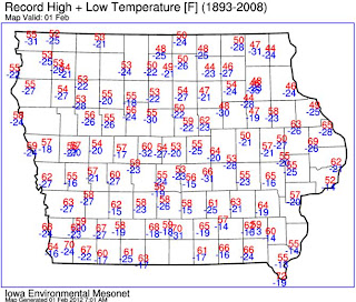
| Record High/Lows Across Iowa Feb. 1st |
I thought I'd postpone my hunting season recap due to the talk of the town right now- a strong storm approaching. Here is a graphic with the computer model print out of accumulated snowfall Friday night through Saturday. The first graphic is from our computer models late Tuesday night.
 |
| Model Forecast From Tuesday Night |
This second one is from Wednesday afternoon.
 |
| Model Forecast From Wednesday Afternoon |
Models are in agreement that a powerful winter storm will be swinging up from Texas and Oklahoma and impacting Kansas, Nebraska and Iowa with a heavy band of wet snowfall on it's northern side. This storm will have jet stream energy, lift and moisture -the snow machine trifecta of trouble. The million dollar question is just where will the band set up? If the storm takes a southern track, Des Moines and central Iowa gets hammered with 6"-12" but if it stalls out west, we'll see a trace to 2" and the impressive totals will shift west. If it stays on projected course right now, central Iowa could see 4"-8"
My meteorological hunch is it takes a more western track resulting in rain on Friday night, changing to snow early Saturday morning and then a rain/snow mix throughout the day Saturday with snow showers Saturday night. Meanwhile NW IA up around Fort Dodge to Pocahontas to Sioux City could be looking at 10" or more of snow!
One thing's for sure, this is a storm worth watching. Keep tabs with central Iowa's Most Accurate Forecast and I'll have more updates as the storm approaches.
No comments:
Post a Comment